The Bureau has declared an El Niño event along with the dangerous combination of a positive Indian Ocean Dipole and it’s quickly gathering pace

The Bureau of Meteorology (The Bureau) has put off the bad news for as long as possible, not wanting to stampede the masses, but has finally declared that an El Niño and a positive Indian Ocean Dipole (IOD) are underway.
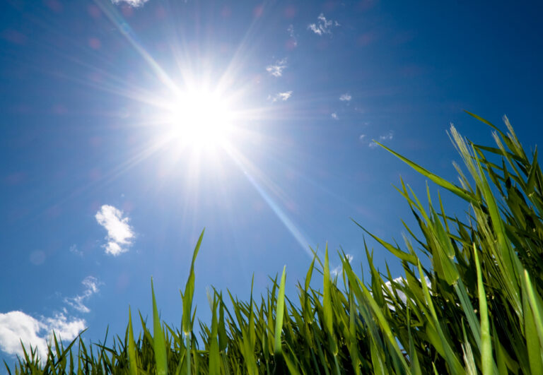
What this means at the outset is for everyone to prepare for the likelihood of warmer and drier conditions over spring and summer for many parts of Australia, from the influence of these two climate drivers.
For farmers, it means those operating in marginal low rainfall country that played a part in our record breaking three seasons in a row, will not be expected to be a substantial contributor to the tally for season 2023-24.
Industry experts have already reduced expectations by marking marginal operations to pretty much zero, with an overall 34% downgrading to 45.2 million tonnes of what we can expect from the Winter harvest 2023-24. If this comes to pass it would be below the 10-year average to 2022–23 of 46.4 million tonnes.
Part of this adjustment of the minds is expected from wheat and coarse grain production – reflecting below average rainfall and above average temperatures in recent months in regions that can least handle that scenario.
Failure in the marginals is expected to more than offset the upward trend for rice production, while oilseed production is also expected to remain unchanged.

The El Niño and positive Indian Ocean Dipole (IOD) blow will be felt harder this time around in sentiment alone, as we steer in the opposite direction to the three consecutive record winter crop production years we have experienced.
What we will see from season 2023-24 is a wide disparity of income from the winners and losers, overall the winners will not be that far off good season expectations, with losses coming from frosts and a dryer finish than preferred, while losers will not get to the stage of harvesting.
In the overall dryer conditions picture, following a healthy planting of over 23 million hectares, it is predicted Wheat production will fall by 36% to 25.4 million tonnes, 4% below the 10-year average.
While Barley production is primed to fall by 26% to 10.5 million tonnes, 6% below the 10-year average.
While the darling of cash crops, golden Canola is forecast to have production fall by 38% to 5.2 million tonnes. But even at that level is still giving back to devoted growers that planted the second highest ground cover on record.
At this rate, it is estimated Canola will remain well above the 10-year average.


Where the hot and dry will strike
Below median spring rainfall is 60% to greater than 80% likely for much of the country. Among several factors, this forecast takes into account the developing El Niño and positive Indian Ocean Dipole.
There is a 75% chance of spring rainfall being less than 25 millimetres across large areas of central and northern Australia, while parts of the tropical north, southwest Western Australia and much of eastern Australia are likely to receive up to 200 millimetres and western Tasmania is expected to receive in excess of 300 millimetres rainfall.
In cropping regions, below median rainfall is more likely with a 75% chance of receiving between 25 and 100 millimetres across most winter cropping regions, except for northern cropping regions in Western Australia where falls are expected to be below 25 millimetres.
In areas with average or higher levels of soil moisture, if realised, these falls may be sufficient to support close to average plant growth as many growers are expecting.
In areas with low soil moisture, and described as marginal country such as southern Queensland, north-western New South Wales and northern and eastern Western Australia, it is probable the below-average rainfall totals are unlikely to be sufficient to sustain average levels of crop and pasture production.
For many in marginal country the stress from particularly higher temperatures and increased water demand working against crops and pastures in spring will be a cross too heavy to bear, and at best livestock will get nourishment from a lost cropping season.


What to expect from El Niño
The Bureau of Meteorology (The Bureau) climate manager Dr Karl Braganza explains why the emergence of both an El Niño and a positive Indian Ocean Dipole in combination tend to draw rain away from Australia.
“Over spring, their combined impact can increase the chance of below average rainfall over much of the continent and higher temperatures across the southern two-thirds of the country,” Dr Braganza continues.
“The Bureau’s three-month forecast for rainfall and temperature has been indicating warm and dry conditions for some time.”
“An established El Niño and positive IOD reinforces our confidence in those predictions. Based on history, it is now also more likely that warm and dry conditions will persist over eastern Australia until autumn.”
El Niño events increase the risk of extreme temperature shifts, like heatwaves and hotter days.
Increased fire danger in south-eastern Australia is associated with El Niño conditions. A positive IOD contributes to greater fire risk over southeast Australia in spring, while El Niño contributes to elevated fire risk over both spring and summer.
The Bureau made the El Niño declaration after three of the four El Niño criteria were met, including a sustained response in the atmospheric circulation above the tropical Pacific.
The last time Australia encountered both El Niño and a positive IOD was in 2015.
“Around two-thirds of Australia’s driest years on record were during El Niño however, no two El Niño or IOD events or their impacts are the same,” Dr Braganza outlined.
“El Niño is part of a natural climate cycle that affects global weather and occurs on average every three to five years.”

The Ocean Dipole addition
Bureau Senior Climatologist Catherine Ganter said the Indian Ocean Dipole can have as large an influence on our rainfall and temperature as El Niño.
“A positive IOD often results in below-average rainfall during spring for much of central and southern Australia and warmer than average maximum temperatures for the southern two-thirds of Australia,” Ms Ganter added.
“Similar to El Niño, the IOD describes a natural climate cycle brought about by sustained changes in the difference between sea surface temperatures in the tropical western and eastern Indian Ocean,” Ms Ganter concluded.
Since 1960, when reliable records began for the IOD, there have been around 16 positive IOD and 15 El Niño years. Seven winter seasons during this period have seen positive IOD and El Niño events happen at the same time.

Country regions at major fire risk
While fires are not good for farmers, they can be even worse for more populated country regions, and the warning bells are ringing with an abundance of fuel sitting blissfully on bush floors.
The Climate Council is urging property owners in known fire risk areas to prepare now for hot, dry and potentially dangerous fire conditions, as The Bureau has officially declared that both an El Niño event and a positive Indian Ocean Dipole are underway.
Many fires are already burning in the Northern Territory, Queensland and New South Wales.
While Sydney swelters through the hottest three consecutive days ever recorded during September, alongside the announcement of a total fire ban, catastrophic fire conditions for the south coast, and school closures in some areas.
At the same time, abnormally high sea temperatures over recent months have triggered a red alert among scientists. They warn that we’re speeding towards uncharted and dangerous territory.
The Climate Council has released a report that warns of the scorching consequences of a failure to reduce our emissions this decade. Download the report here.
Climate Councillor and leader of the Emergency Leaders for Climate Action (ELCA) group, Greg Mullins explains, “An El Niño event can be like putting fire weather on steroids. With the warmer and drier conditions, it usually brings, we could be looking at an extended and potentially volatile fire season.
Already significant fires have been raging nationwide, including in NSW, Queensland, WA and the NT. A fire near Tennant Creek has already burned hundreds of thousands of hectares, and the entire Northern Territory has been declared a fire zone until March 2024.
Nationally, the Climate Council is warning of a hotter, drier Spring and Summer.

“Climate change just adds to what El Niño conditions can bring, by driving even higher temperatures and extreme weather including strong winds that can turn fires into infernos.
“Aussie communities are resilient, but let’s not forget that being ready, staying alert and listening to fire service warnings are our best defences when facing heightened fire danger brought on by an El Niño event, worsened by climate change,” Greg Mullins concluded.
Climate Council Research Director Simon Bradshaw added, “The devastating extreme weather we’re seeing around the world is exactly what climate scientists have been warning us about for decades. That same science tells us we can still choose what our future looks like. Through stronger action now we can substantially limit future climate harms.
“In recent months we’ve seen southern and central Europe, the US, China, North Africa, and Japan all experience extreme heatwaves. India and South Korea have suffered deadly floods. Canada has just experienced its worst wildfire season on record, with scenes eerily reminiscent of Australia’s Black Summer. This is what climate change looks like.
“Climate change – driven by the burning of coal, oil and gas – is supercharging the impacts of El Niño events and is likely also increasing the frequency of strong El Niño events.
“The prospect of both a powerful El Niño and a positive Indian Ocean Dipole, against the backdrop of a warming planet, is another urgent call for faster action to move beyond fossil fuels and get emissions plummeting. Our very way of life, the vitality of the ecosystems that support life, and the safety of all communities are at stake,” Simon Bradshaw concluded.