Bureau of Meteorology has farmers waking up to the best news they have heard in a while as drought threatening the 2025-26 winter crop fades
The latest rainfall summary issued by the Bureau of Meteorology highlights an Increased chance of above-average rainfall for much of the cropping regions, throughout July to September 2025.
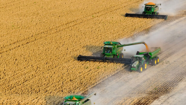
This is good news for most growers as their expensive foray into a likely record winter crop planting for season 2025-26 has already been written down slightly due to less than favourable dry conditions, a position that could now be reversed with better crop yields.
Even with a drought hanging over some farm operations, see how farmgate income is still predicted to be high here, and a detailed summary of likely crop returns from each state on this link.
The only cautionary footnote to this welcome prediction is that the only possible exception is for parts of the south-east and south-west cropping regions where dry conditions have prevailed this season.

The overall likelihood is that above average rainfall is sitting at a 60 to 80% chance for much of the country for the July to September 2025 period as a whole. The emphasis here is on an above-average likelihood.
But don’t expect this to happen in the blink of an eye, as individual monthly forecasts indicate that the chance of above-average rainfall increases from August, so some will need to be patient.
And however, isolated from the good rainfall expectations in most cropping regions, there is a weaker forecast signal for some marginal regions.
These include most of the south-east, south-west and eastern coastline, including areas in the far south-east of South Australia, western and central Victoria, Tasmania, and western parts of Western Australia that have been affected by prolonged dry conditions.

The absence of a strong signal for these regions means there is a roughly equal chance of above, below or near-average rainfall, but with no strong indication of unusually wet or dry conditions either way.
So still at risk, but with a slightly increased chance, at 60 to 70%, of below average rainfall are isolated small parts of Western Australia’s south-west, western Tasmania and central to eastern Victoria.
The signal for these regions is strongest in July, where rainfall is at a 60 to 80% chance of being below average across parts of south-western WA, far south-eastern SA, much of Victoria and the alpine region of NSW.
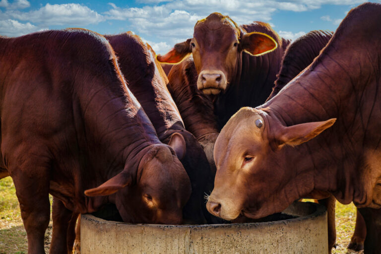
And for livestock producers in northern Australia, the July to September period is part of the northern dry season, when most of tropical northern Australia typically receives very low rainfall, with average rainfall less than 10mm for the 3 months combined.
See the latest forecast for livestock income on this link.
Winter 2025 long-range forecast (states and territories)
New South Wales and the ACT
Winter rainfall is expected to be above average for much of the state and the ACT.
However, parts of the state’s east are likely to have rainfall in the typical range.
Average winter rainfall in recent decades has been between 100 and 300 mm along most of eastern New South Wales, with higher falls in the alpine regions, while in western and central New South Wales winter averages are between 25 and 100 mm.
Warmer than usual winter maximum temperatures are likely across the state, and warmer than usual winter minimum temperatures are very likely.
Victoria
Rainfall is expected to be within the typical winter range for much of the state.
Average winter rainfall in recent decades ranges between 100 and 300 mm throughout much of the state, while the state’s north-west has 50 to 100 mm and parts of the far south and alpine areas have up to 600 mm on average
Warmer than usual winter maximum and minimum temperatures are very likely across the state.
Queensland
Winter rainfall is expected to be in the typical range for much of the state, with parts of the south and west likely to have above average rainfall.
Warmer than usual winter maximum and minimum temperatures are very likely across the state.
Western Australia
Winter rainfall is expected to be above average for much of the state, except for the south-west where rainfall is likely to be in the typical winter range.
Average winter rainfall in recent decades has been between 100 and 400 mm for most of the South West Land Division with up to 600 mm in the far south-west, 50 to 100 mm in parts of the west, central and south-east, between 25 and 50 mm mid-state, and less than 10 mm in the north.
Warmer than usual maximum and minimum winter temperatures are very likely across the state.
South Australia
Winter rainfall is likely to be above average for much of the state, except for the far south-east where rainfall is expected to be within the typical range for winter.
Average winter rainfall in recent decades has been between 50 and 300 mm across the south with some coastal parts up to 400 mm, and 10 to 50 mm for the central and northern parts.
Warmer than usual winter maximum and minimum temperatures are likely across the state.
Tasmania
Winter rainfall is expected to be in the typical range for much of the state.
Warmer than usual winter maximum and minimum temperatures are very likely across the state.
Northern Territory
Winter rainfall is likely to be above average across the southern two-thirds of the Territory.
Warmer than usual June to August maximum and minimum temperatures are very likely across most of the Territory.
Autumn Preliminary Summary
Autumn has been warmer than usual for most of Australia. Throughout much of the south and west, daytime temperatures were very much above average.
Victoria had its warmest autumn on record, New South Wales had its second warmest, and South Australia and Western Australia had their third warmest autumn on record. Autumn has been drier than average across much of the country’s south and west.
Slow-moving high pressure systems to the south of the continent are contributing to drier conditions in the south. This pattern has also enhanced coastal troughs off New South Wales and southern Queensland, contributing to the recent above average coastal rainfall in these states.
Conditions have been wetter than usual for much of the east and north, with rainfall very much above average in large parts of Queensland.
Tropical activity, including Tropical Cyclone Alfred and a low pressure trough over western Queensland, brought widespread rainfall and flooding during March and April.
Autumn rainfall was very much below average in large parts of the south-east and the west coast. In Tasmania, autumn rainfall was the second lowest on record.