The Bureau has declared an El Niño event will be active during winter season 2026-27 with outcome still under a close watch
Usually very conservative, when it comes to declaring an El Niño event, The Bureau of Meteorology (The Bureau ) has declared an El Niño is now active in Australia and warns about the repercussions from the likelihood of a drier second half of the year.
The Bureau’s declaration follows closely the declaration made by the US based National Oceanic and Atmospheric Administration (NOAA) barely a week ago, see our comprehensive report here.
And following past El Niño events The Bureau is usually very conservative when it comes to calling an event, and it stresses the severity that some experts are predicting, backed by this event being the fastest to develop since 1943.
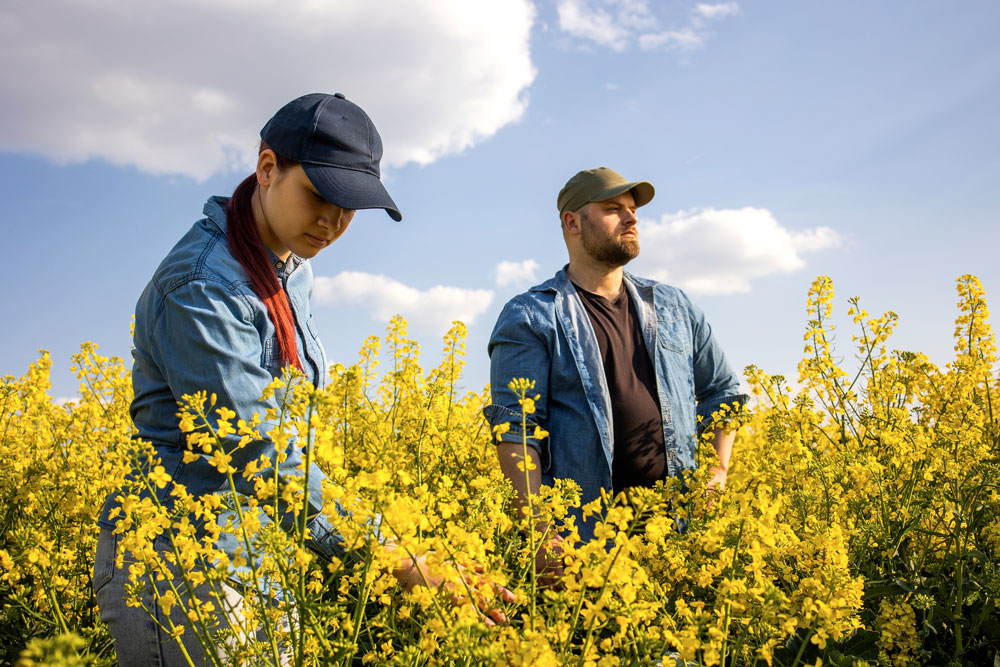
Without the call of an El Niño forming, most growers are at this stage are content with solid rain that is reaching most southern growing regions, enough to set-up crop growth for a high yielding harvest.
And while modelling suggests this El Niño could become the strongest on record, that scenario does not necessarily mean this 2026-27 event will develop into record heat and drought.
El Niño cruelty factor
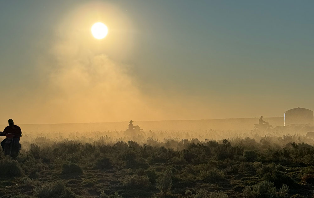
And while no-one can predict the effect this El Niño will have on the 2026-27 harvest the event does bring with it the known cruelty factor of substantial bursts of rain early in a growing season before the drought sets in.
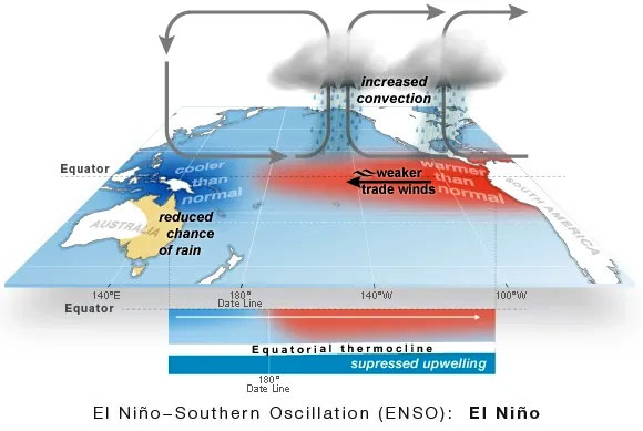
But there is some certainty that an El Niño typically brings drier conditions to central and eastern Australia in winter and spring.
And The Bureau has already declared a long-range forecast for July to September that indicates rainfall is likely to be below average across parts of southern and eastern Australia.
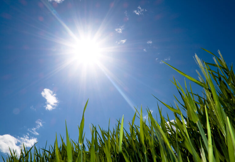
While the whole country is facing above-average overnight temperatures and everywhere, apart from northern Australia, can expect higher-than-usual daytime temperatures over coming months.
This forecast is consistent with a typical El Niño event, especially a drier spring when El Niño has a stronger influence on our rainfall and warmer days and nights.
Most recent El Niño 2023-24
Farmers have had a dream run of near record results since the last El Niño was called in 2023, but that doesn’t negate the severe disruption by a drought through the 2023-24 season.
Coincidentally the 2023-24 season El Niño followed the all-time record winter harvest of the 2022-23 season of 69.2 million tonnes. The drought in 2023-24 gave the harvest a beating and sank it down to 47.5 million tonnes, almost a third less.
During the 2023-24 season lead-up there were some growers taking a precautionarily approach, and as a result only 23 million hectares was planted, compared to 24 million hectares in the previous record season.
And while the El Niño threat was in the background of some farmer’s minds this season, 2026-27, it was more likely the middle east war footing that held up fertiliser supplies and increased fuel costs that reduced the planting to an estimated 23.1 million hectares. Down more than 2 million hectares on the previous two winter seasons.
Taking a note of the terminology used by weather predictors, the last El Niño that developed in spring 2023 and lasted into early 2024 was classified as a moderate to strong event.
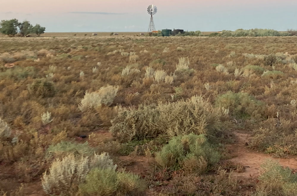
It did set an unenviable record, August to October 2023 was Australia’s driest 3-month period on record. A strong positive Indian Ocean Dipole (IOD) also contributed to the dry conditions.
And while it wreaked short term devastation, that El Niño event had less influence from late 2023. Storms along the east coast and 4 tropical cyclones brought above average rainfall to widespread areas during the summer months.
We cover many aspects of the predicted El Niño event in a report prepared when the US based National Oceanic and Atmospheric Administration (NOAA) was first to declare the 2026-27 El Niño. That report can be read here.
In addition, see how two winter seasons, 2022-23 and 2023-24, seesawed from a record result to then be hit by an El Niño event to be downgraded on this link.
See how early on the current winter season 2026-27 plantings progressed on this link.
Click on the video link below for a direct description about rainfall expectations in your region over the next three months.
Long range forecast July to September 2026